
Innocents in the Dry Valleys
An Account of the Victoria University of Wellington Antarctic Expedition, 1958-59
Accessibility Tools

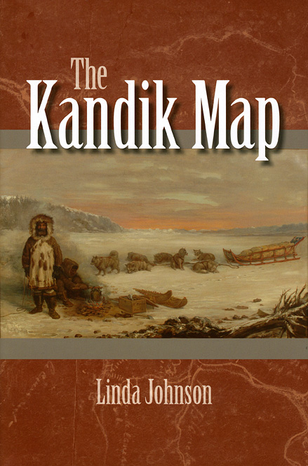
In 1880, Athapascan Indian Paul Kandik and French explorer Francois Mercier traveled across northeastern Alaska and western Canada to create the earliest known map of the region. However, their contribution to cartographic history has fallen into obscurity. Linda Johnson now delves into the fascinating story behind the Kandik Map, examining the reasons why and how these two men from such different backgrounds joined forces to map the Kandik River region. Drawing on historical letters, geographical analysis, and the original map itself, held in the University of California’s Bancroft Library, Johnson produces a groundbreaking study on the history of the Kandik Map and reveals its significant implications for Native Americans scholarships.
An Account of the Victoria University of Wellington Antarctic Expedition, 1958-59

The 1951 Spitsbergen Expedition

The History of a Frontier Mining Camp: Fairbanks, Alaska

Five Founding Women of Fairbanks, Alaska

Adventures of Alaska Conservationist Ginny Hill Wood


